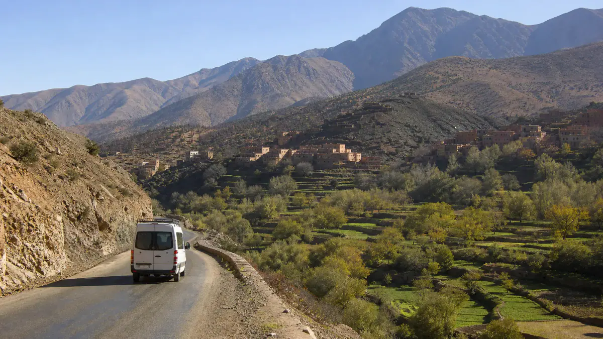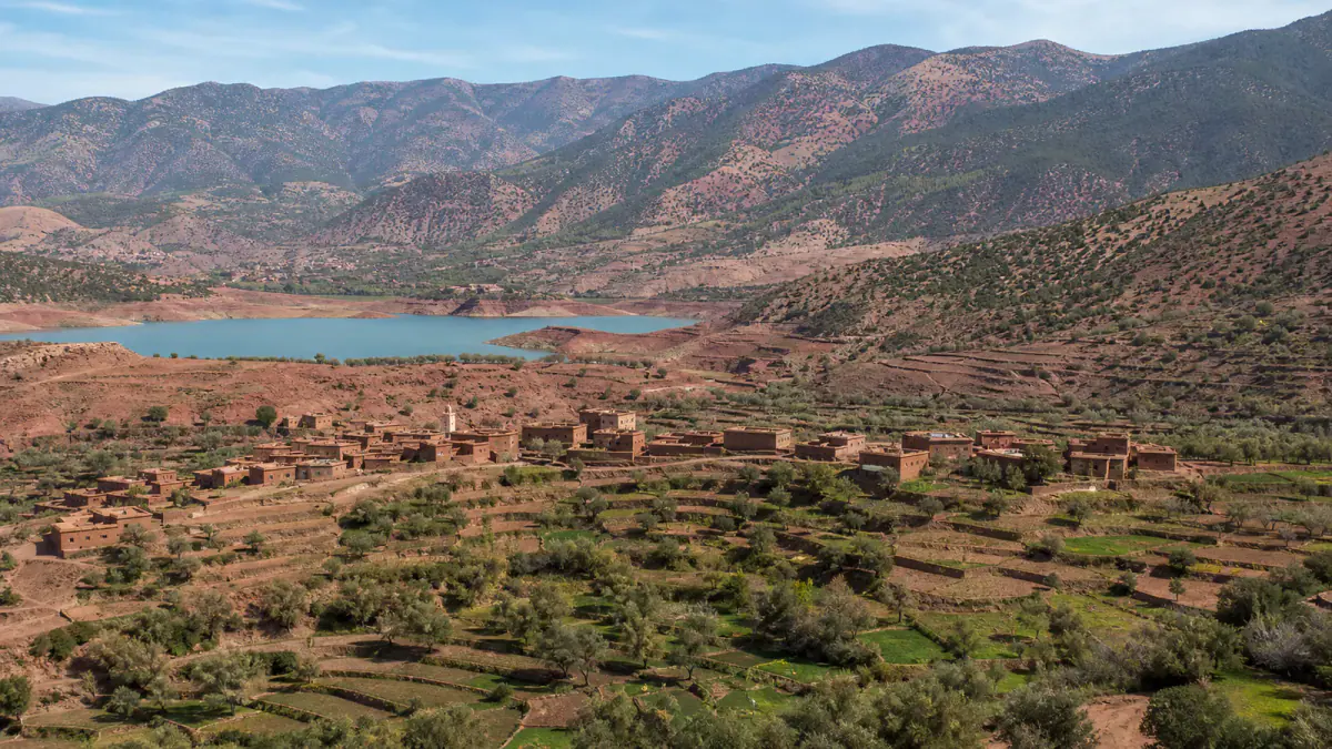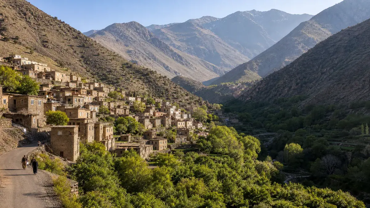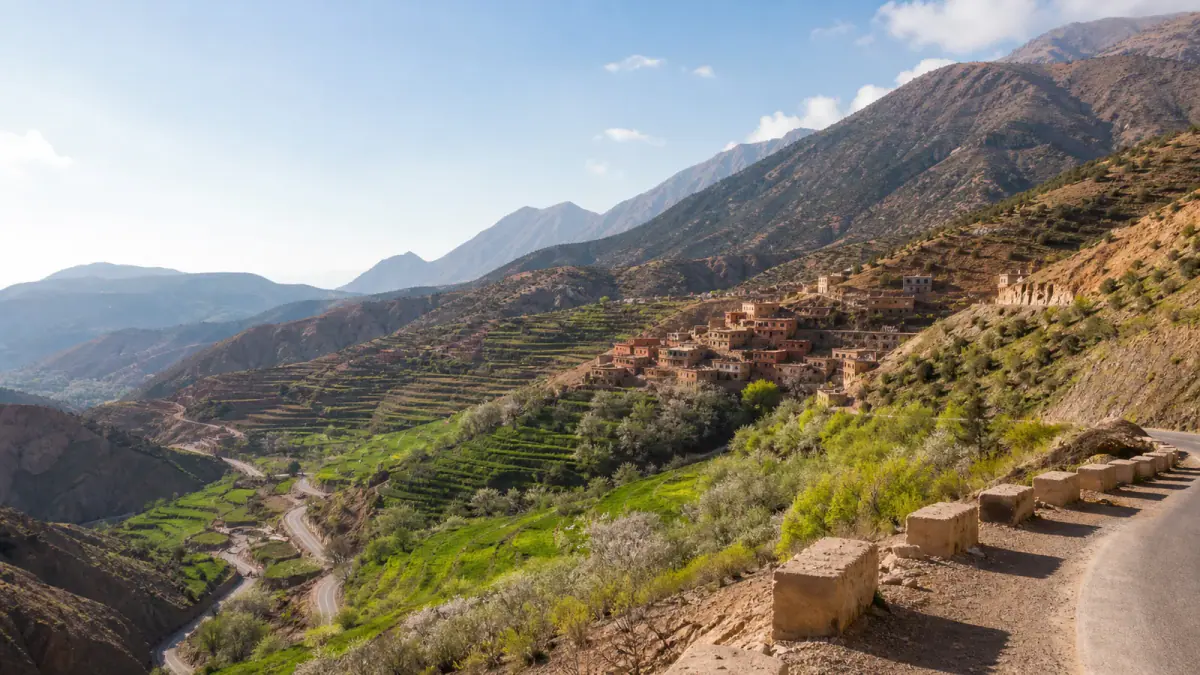
The Atlas Mountains in Morocco are not one attraction beside Marrakech. They are a vast chain of peaks, plateaus, forests, valleys and inhabited landscapes stretching across much of the country. A trip might mean a gentle guesthouse stay, a cedar-forest walk, a demanding summit, or a road journey through dry southern massifs. Choosing the correct region matters more than collecting a list of famous names.
For a first mountain experience, the High Atlas near Marrakech is usually the easiest choice. The Middle Atlas better suits travelers linking Fes with Ifrane, Azrou or the desert road, while the Anti-Atlas rewards an independent road trip around Tafraoute, Taroudant and the south. This guide compares those regions and helps you build a realistic route without treating every mountain day as a Toubkal climb.
Quick answer: Allow one full day for a first glimpse, two or three nights for a meaningful valley stay, and longer for a trek or multi-region road trip. Spring and autumn are the most flexible periods, but altitude can produce winter conditions even when Morocco’s cities feel mild.
Atlas Mountains at a Glance
| Region | Best for | Useful gateways | Typical trip |
|---|---|---|---|
| High Atlas | Big ridges, village stays, trekking and dramatic passes | Marrakech, Ouarzazate, Beni Mellal | Day trip, two-night stay or guided trek |
| Middle Atlas | Cedar forests, lakes, plateaus and a north-to-desert route | Fes, Meknes, Ifrane, Midelt | Day drive or one-to-three-night road trip |
| Anti-Atlas | Granite landscapes, quiet villages and dry southern scenery | Agadir, Taroudant, Tafraoute | Two-to-five-day road trip |
The Moroccan National Tourist Office describes the High Atlas as the country’s highest chain, the Middle Atlas as a landscape of forests, lakes and volcanic plateaus, and the Anti-Atlas as a drier transition toward pre-Saharan terrain. Those are useful distinctions, but conditions still vary sharply within each range.
Which Atlas Region Should You Choose?
Start with what you want to do, not with the name you have seen most often.
- Choose the High Atlas if you are based in Marrakech, want the largest mountain scenery, or plan a guided trek.
- Choose the Middle Atlas if your itinerary runs through Fes, Ifrane, Azrou and Midelt, or if forests interest you more than bare summits.
- Choose the Anti-Atlas if you enjoy slower road trips, dry geology, palm oases and places with fewer organized excursions.
- Choose one valley and stay overnight if mountain life matters more than covering distance.
- Choose a guided low-level walk if you want scenery but are unsure about navigation, altitude or trail surfaces.
It is possible to cross more than one range during a longer Morocco itinerary, but they should not be sold as interchangeable. A green Middle Atlas forest and an arid Anti-Atlas granite valley are different journeys.
The High Atlas: Peaks, Valleys and Mountain Villages
The High Atlas contains Morocco’s highest summits, including 4,167-meter Mount Toubkal, as well as deep agricultural valleys, mountain roads and Amazigh communities. Marrakech is the common western gateway, but the range extends far beyond the valleys used for city day trips.
Imlil and the Toubkal area
Imlil is the best-known trekking base south of Marrakech. It works for a village stay, short guided walks and access to longer routes in Toubkal National Park. A day visitor can enjoy the valley without attempting a summit, while trekkers need a separate plan for guides, accommodation, equipment, altitude and changing conditions.
Our detailed Imlil Morocco guide covers transfers, village walks, guesthouses and the difference between visiting Imlil and climbing Toubkal. Keep that detail there; use this page to decide whether Imlil fits your wider Morocco route.
Ouirgane for a quiet overnight
Ouirgane is a gentler alternative for travelers who prefer gardens, red-earth hills and guesthouse time to a summit objective. It suits couples, families and walkers who want a slower countryside break. Trails are not automatically easy or signed, so ask a host to recommend a suitable local walk rather than following an unverified online track.
Aït Bouguemez for a deeper valley stay
Often called the Happy Valley in tourism material, Aït Bouguemez lies much farther from Marrakech than Imlil or Ourika. Its cultivated valley floor, earth-built villages and surrounding peaks make it appropriate for a multi-night stay, not a rushed urban excursion. The longer road journey is part of the decision.
Choose Aït Bouguemez when you have time for guided valley walks and locally run accommodation. Do not add it casually between a Marrakech morning and a Sahara departure.
The southern High Atlas road
Routes over or around the High Atlas connect Marrakech with Ouarzazate, Aït Ben Haddou, the Dades area and the desert corridors beyond. The views can be exceptional, but the drive is not merely a transfer. Curves, road works, weather, photo stops and traffic make journey times variable.
If the Sahara is your goal, read our Moroccan Sahara travel guide before choosing a two-, three- or four-day route. The mountains deserve daylight, and a schedule that forces a driver to recover delays at speed is a poor schedule.
The Middle Atlas: Cedars, Lakes and High Plateaus
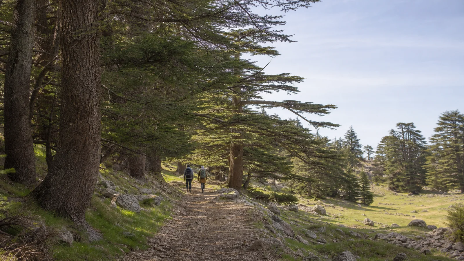
Original editorial visualization of a Middle Atlas cedar walk; it does not claim to depict one named trail.
The Middle Atlas often surprises travelers expecting Morocco to be uniformly dry. Around Ifrane, Azrou and the higher plateaus, the landscape includes cedar and oak forest, grazing country, lakes and winter snow. It can form a scenic section of a Fes-to-Midelt or Fes-to-Merzouga road trip.
Ifrane and Azrou
Ifrane is an organized mountain town with a very different atmosphere from Morocco’s imperial-city medinas. Nearby Azrou is a practical access point for forest areas and regional roads. The towns work as stops, but the landscape between them is the reason to slow down.
Wild Barbary macaques attract attention in some forest areas. Observe wildlife from a distance and do not feed or touch animals. Feeding changes behavior, encourages roadside crowding and can create risk for wildlife and visitors.
Lakes, plateaus and seasonal access
Maps show many Middle Atlas lakes and rural roads, but water levels, track condition and access can change. Ask locally before committing a small car to an isolated route. In winter, snow or ice may affect roads around Ifrane, Timahdite and higher terrain; a pleasant forecast in Fes does not prove the mountain road is clear.
Middle Atlas as part of a desert route
A route from Fes toward Merzouga commonly passes through Middle Atlas country before descending through Midelt and the Ziz corridor. This is a long travel day even without stops. One overnight near Ifrane, Azrou or Midelt can turn a transfer into a journey and reduce the temptation to rush.
Our Fes travel guide helps place that section after a medina stay, while the Sahara guide explains what changes once the route reaches the desert regions.
The Anti-Atlas: Tafraoute and Morocco’s Dry South
The Anti-Atlas is lower and drier than the High Atlas, but it is not a lesser version of it. Granite formations, argan country, palmeraies, oasis settlements and broad empty roads create a landscape suited to independent travelers who value geology and small-town rhythm.
Tafraoute as a base
Tafraoute is the best-known base for exploring the Ameln Valley and surrounding granite landscapes. Walking, cycling and scenic drives are possible, but route-finding and heat exposure require the same respect as higher mountains. A dry trail can still be remote.
The area is especially associated with almond blossom season, but nature does not follow a fixed festival calendar. Treat advertised bloom dates as approximate and confirm conditions before making them the sole reason for a trip.
Building an Anti-Atlas loop
Agadir or Taroudant can anchor a loop toward Tafraoute, with stops chosen according to time and road conditions. Two nights is a practical minimum once you leave the coast; three or four gives space for a valley walk and unhurried drives.
This is one part of Morocco where a rental car is particularly useful. Public transport reaches towns, but it does not provide the freedom to stop at viewpoints or explore scattered valleys. Fill the fuel tank before remote sections, carry water and avoid planning your longest drive after dark.
Best Time to Visit the Atlas Mountains
There is no single Atlas season because elevation and latitude change the weather.
Spring: March to May
Spring is often the most versatile period for valleys, lower walks and road trips. Terraces may be green, fruit trees can flower and lower elevations are usually more comfortable than in midsummer. High passes and summits may still hold snow, so spring is not automatically a summer-hiking season.
Summer: June to August
High elevations offer relief from city heat, but exposed valleys and the Anti-Atlas can be extremely hot. Start walks early, carry more water than you expect to need and build shade into the day. Afternoon heat and thunderstorms can change plans.
Autumn: September to November
Autumn can bring clear walking conditions and cooler road-trip weather. Early autumn may remain hot at lower elevations. Later in the season, shorter daylight and the first high-mountain snow become relevant.
Winter: December to February
Winter can be beautiful but requires the most flexible planning. Snow, ice, cold nights, blocked minor roads and rapidly changing summit conditions are possible. In December 2025, Morocco’s meteorological service reported exceptional snow across parts of the High and Middle Atlas, illustrating why a historical seasonal average is never enough for a live decision.
Before departure, check the Morocco meteorological vigilance map and ask your accommodation or guide about the exact road and trail—not simply “the Atlas.”
How Many Days Do You Need?
One day
Use one day for a single valley near your base city. From Marrakech, choose Imlil, Ouirgane or Ourika rather than combining them all. Our Atlas Mountains from Marrakech guide compares those day-trip choices.
Two or three days
Stay in one High Atlas valley, take a short guided walk and allow a slow morning. Alternatively, use the time for an Ifrane–Azrou–Midelt section of a longer northern route. Two nights reveals much more than two rushed day tours.
Four to seven days
This is enough for a proper road trip in one range or a supported multi-day trek. It also creates weather flexibility. Do not spend all seven days changing accommodation merely to claim more valleys.
More than a week
A longer trip can combine the High Atlas with southern valleys or the Anti-Atlas, but transitions consume time. Plan rest days and distinguish scenic driving from walking days.
Getting There and Getting Around
Private driver or organized excursion
This is convenient for a defined day trip, travelers who do not want to navigate mountain roads, or a point-to-point journey with luggage. Ask for the exact route, expected walking, lunch arrangement and shopping stops. “Atlas tour” is too vague to evaluate.
Rental car
A car gives the most independence in the Middle and Anti-Atlas. Before accepting it, photograph existing damage, check tire condition, understand the insurance excess and confirm what roadside assistance covers. Download maps, but do not assume an app knows whether a rural road is currently passable.
Public transport
Buses, shared taxis and local transfers connect many towns, yet rural schedules are less flexible than intercity trains. Public transport works best when your accommodation can explain the final connection and you have time for delays.
Walking and guides
A road arrival does not make a trail self-guided. Signage can be limited, paths divide between villages and weather can erase familiar landmarks. A professional local guide adds navigation, route adjustment and cultural context. Ask about guide credentials, group size, included equipment, first-aid preparation and the planned turnaround point.
Trekking Safety: Treat the Mountains as Mountains
The Atlas is accessible, not harmless. The UK government’s current Morocco travel advice recommends researching trail difficulty, packing water and appropriate clothing, hiring a professional guide and carrying insurance that covers the planned activity. It also warns that mountain roads become particularly hazardous in poor weather.
Use this practical checklist:
- Share the route and return time with your accommodation.
- Check a current local forecast and official weather alerts.
- Confirm total ascent, highest elevation, trail surface and daylight.
- Carry water, food, sun protection and a warm or waterproof layer.
- Turn around when conditions, pace or health deteriorate.
- Never enter flood water on foot or by car.
- For winter objectives, use appropriate technical equipment and expertise.
- Make sure travel insurance covers trekking altitude and evacuation where relevant.
Altitude symptoms should not be “pushed through” to save an itinerary. Headache, nausea, unusual fatigue or poor coordination at elevation require attention and, when symptoms worsen, descent and medical advice.
For easy low-level options, use our separate family-friendly Atlas trips guide. Easy in marketing language does not mean accessible to every traveler, so still ask about steps, loose ground and elevation gain.
What to Pack
- Shoes with grip that are already broken in.
- Layers rather than one heavy garment.
- Sun hat, sunglasses and sunscreen.
- Refillable water bottles plus backup water.
- Offline map and a charged phone or power bank.
- Cash in small denominations for rural stops.
- Personal medication and a compact first-aid kit.
- Modest, practical clothing for inhabited villages.
- Winter hardware only when the route and guide require it.
Do not let a sunny hotel terrace determine the packing list. Temperatures fall with elevation, wind changes comfort quickly, and a shaded valley can feel very different from Marrakech.
Staying in Mountain Villages
Guesthouses and gîtes are often the most rewarding form of accommodation. They support local work, reduce daily driving and create time for home-style meals and conversation. Facilities vary: heating, hot water, card payment, Wi-Fi and luggage access should be confirmed rather than assumed.
Ask before photographing people, homes or agricultural work. Dress with village context in mind, keep noise low and avoid turning private life into a backdrop. Pay the agreed price, tip transparently when service deserves it, and do not distribute sweets or money to children.
The Atlas is an inhabited cultural landscape shaped by Amazigh communities, agriculture, seasonal movement and recovery from the 2023 earthquake. Some roads, paths and buildings have changed since older guidebooks and map imagery. Confirm access locally and travel with humility around affected communities.
Three Realistic Atlas Itineraries
Two nights from Marrakech
Day 1: Travel to Ouirgane or Imlil, settle into a guesthouse and take a short orientation walk.
Day 2: Do one route matched to your fitness with a local guide.
Day 3: Enjoy a slow breakfast, return to Marrakech and avoid adding a distant valley.
Three nights from Fes toward the desert
Day 1: Leave Fes for Ifrane and the Azrou area, then stay locally.
Day 2: Explore a suitable forest or plateau route and continue toward Midelt.
Day 3: Travel through the Ziz corridor toward Merzouga.
Day 4: Begin the desert portion without treating the preceding day as a race.
Four nights in the Anti-Atlas
Day 1: Travel from Agadir or Taroudant toward Tafraoute.
Days 2–3: Use Tafraoute as a base for the Ameln Valley, a guided walk and scenic drives.
Day 4: Return by a different safe route if conditions and time allow.
Day 5: Continue to the coast or Souss region after a rested morning.
Common Planning Mistakes
Calling every excursion a trek
A roadside viewpoint, village stroll, four-hour hike and multi-day summit are different products. Ask for distance, ascent and duration before booking.
Combining too many valleys
Maps make neighboring valleys look close. Mountain roads turn short straight-line distances into long journeys. One well-chosen base usually produces a richer trip.
Trusting old road and trail reports
Weather, reconstruction and maintenance change access. Treat old blog posts as inspiration, not live condition reports.
Assuming Morocco is warm everywhere
Coastal or city temperatures say little about a 2,000-meter plateau. Check the exact elevation and overnight low.
Using people and wildlife as props
Ask before photographing residents and never feed macaques for a closer picture. Respect improves both the experience and the place.
Frequently Asked Questions
Are the Atlas Mountains worth visiting?
Yes, particularly if you want a landscape and pace different from Morocco’s medinas and coast. Even one well-planned valley day can be worthwhile; an overnight stay is better when time allows.
Can you visit the Atlas Mountains without hiking?
Yes. Scenic drives, guesthouse stays, short village walks and viewpoints are possible. Choose Ouirgane, a Middle Atlas road route or a carefully described low-level excursion rather than a trekking package.
Are the Atlas Mountains safe?
Many people visit safely, but conditions vary by road, elevation, weather and activity. Use a professional guide for hiking, check official alerts, carry suitable insurance and obtain local information close to departure.
Is Toubkal suitable for beginners?
Toubkal is a high-altitude mountain objective, not a normal sightseeing walk. Fitness, acclimatization, season, equipment and professional guidance matter. Beginners should discuss preparation honestly with a reputable guide and should not confuse visiting Imlil with summiting Toubkal.
Can you see the Atlas Mountains from Marrakech?
The High Atlas can be visible from Marrakech on clear days, especially from open rooftops or viewpoints. Visibility is not guaranteed, and seeing the skyline is different from visiting a valley.
High Atlas or Middle Atlas—which is better?
Choose the High Atlas for Marrakech access, major ridges and trekking. Choose the Middle Atlas for forest, lakes, Ifrane–Azrou scenery and a route between Fes and the southeast. Neither is universally better.
Do you need a guide?
You do not need a hiking guide to drive between established towns, but guided walking is strongly advisable where trails are unmarked, remote, high, technical or affected by weather. Toubkal and winter routes require much more than casual navigation.
Final Planning Checklist
- Choose High, Middle or Anti-Atlas according to your route.
- Limit a day trip to one valley.
- Confirm current road and accommodation access.
- Match the walk to fitness, elevation and season.
- Check official weather vigilance and local conditions.
- Use a qualified guide for serious hiking.
- Carry activity-appropriate insurance.
- Preserve the original URL when saving this guide for later.
The best Atlas Mountains trip is not the one with the most stops. It is the one where geography, time, weather and ability agree. Pick one region, build in daylight and flexibility, and let the mountains be a destination rather than scenery glimpsed through a windscreen.